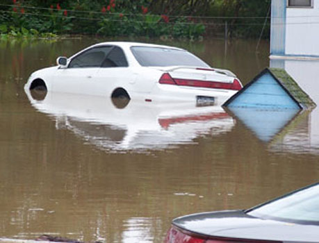
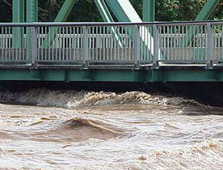
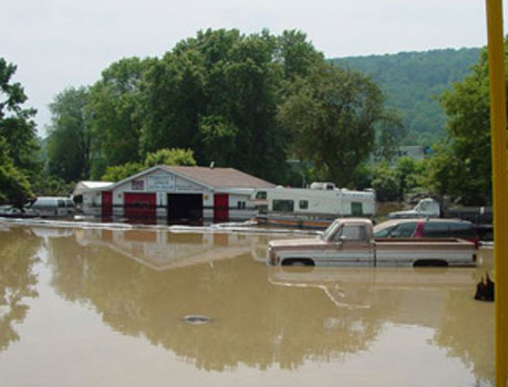
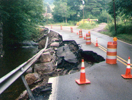
Susquehanna Flood Forecast and Warning System

The Susquehanna River Basin � from Cooperstown, N.Y., to the Chesapeake Bay � is one of the nation's most flood-prone watersheds, experiencing on average $150 million in damages each year.

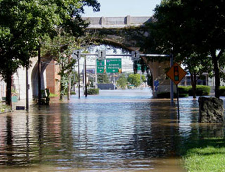
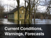
The Susquehanna system provides for
early flood warnings to help save lives
and reduce property damages.

About the System
Current Conditions
  • River Forecasts
  • Watches, Warnings, and Advisories
  • Flash Flood Information
  • Weather Links
Flood Safety
  • Turn Around, Don't
    Drown (NOAA)
  • Public Service Announcements
  • Before, During, and After Flooding
  • Emergency and Flood Safety Links
General Flood Info
  • History of Flooding in the Susquehanna Basin
  • Types of Flooding
    • - Riverine Floods
    • - Flash Floods
    • - Urban Flooding
    • - Ice Jam Floods
    • - 100-Year Floods
News and Resources
  • News Releases
  • Public Service Announcements
  • Videos
  • Photos
Mapping and Data
  • Inundation Maps
  • Flood Damage Reduction and Forecast Maps
  • Reservoir Data (USACE)
  • AHPS Data (NOAA)
  • SRBC Map and Data Atlas
  • FEMA Map Service Center
  • Home
  • Privacy Policy
  • External Links
  • Site Map
  • Contact Webmaster
www.srbc.net